
Anchurus II is a group of IT applications and manual operations that will enable users to record and interpret excavations. This enables you to:
- Record the results of your pre-excavation desk top research and your preliminary fieldwork including geophysics surveys, site topology surveys, and LiDAR surveys. The results of this work is recorded as maps, images and anomalies
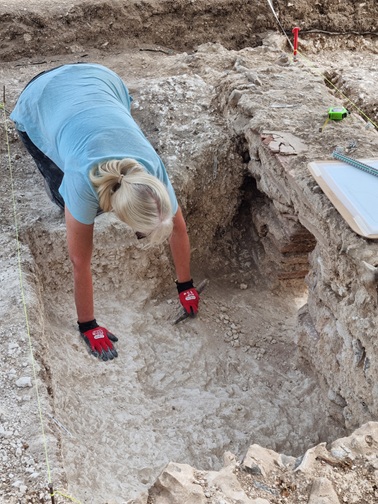
- Record features of an excavation including, the site, the excavated areas, the contexts, the geopositioned context plans, the geopositioned section drawing, the context stratigraphy matrices, and the photographs
- Record finds by material type, how and where they were produced and how they were used on your site
- Interpret an excavation in terms of: recording find and context date assignments, and aggregating anomalies, contexts and finds to create sets, groups and phases and in parallel to aggregate context plans into set, group and phase plans and to link finds to sets, groups and phases
- Include all of the above in your excavation reports
The areas of work that we expect to cover in this website include:
- The layout of a shared filestore which will hold all the data generated during both the excavation and post excavation phases of the work
- The recording and integration of anomalies found in geophysics, LiDAR and topological surveys so that they can be integrated with later field and excavation work
- The use of Draw IO to create both stratigraphic and Harris matrices
- The use of QGIS to create anomaly, context, section and find plans as shape files
- The use of QGIS to browse the already created anomaly, context, section and find shape files
- An Interpretation workbook/spreadsheet that will enable you to record the interpretation of a site in terms of phases of use, groups of anomalies, contexts and finds that were created as a result of human activity
- A database that will hold details of anomalies from geophysics, LiDAR and topographical surveys, contexts, finds and your interpretations of the site. This will enable you to match finds to phases and groups and hence provide more detailed interpretations of how finds were used and deposited on site